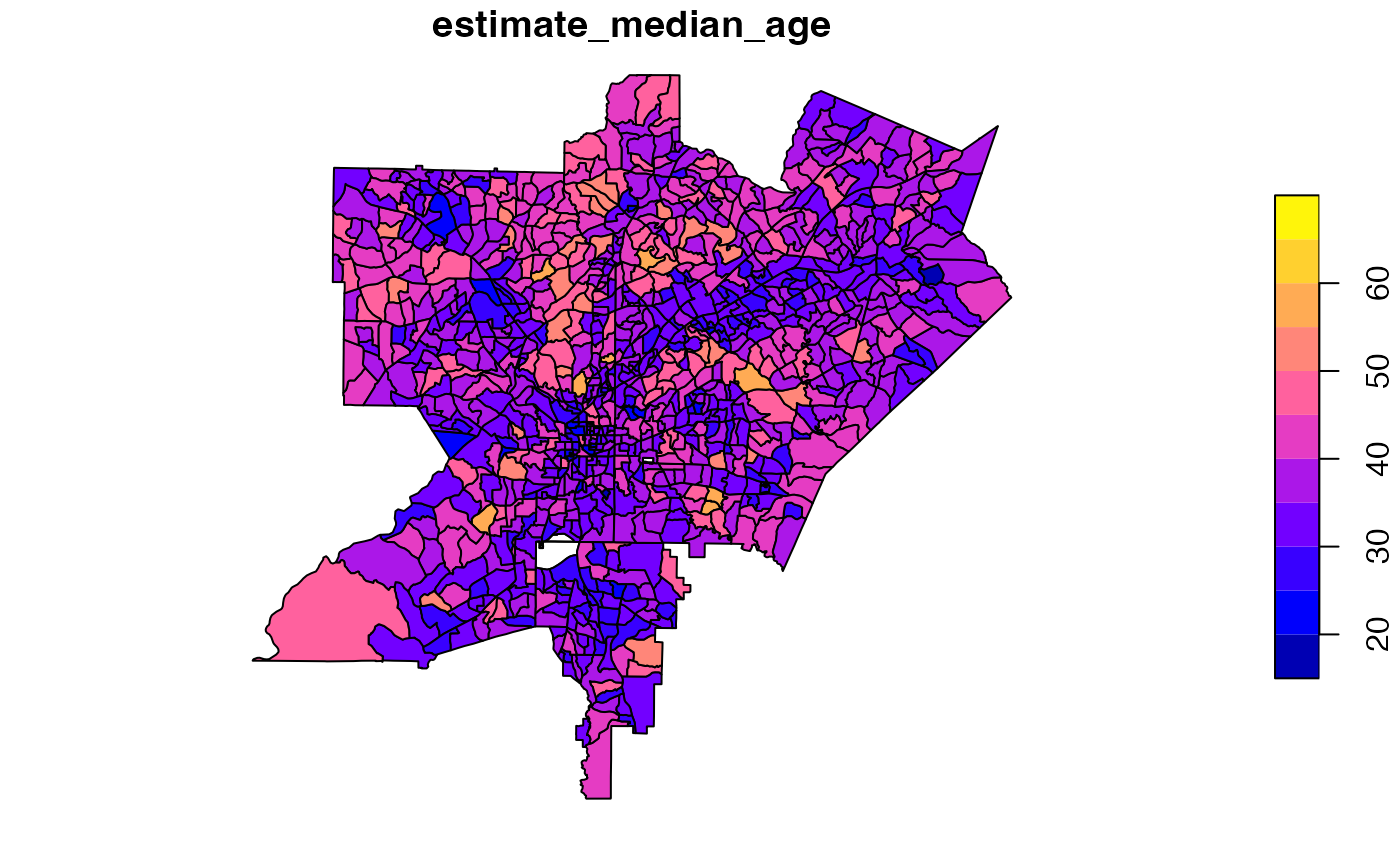
A dataset containing U.S. census data on the Atlanta MSA with tract polygons.
Format
A simple feature collection with 1,006 rows and 8 columns:
- geoid
A geographic unit identifier
- tract
The tract number
- county
county
- state
state
- estimate_median_age
estimate median age unit in years
- pct_bachelor
percent of population with a bachelor's degree or higher
- pct_veteran
percent of population that are veterans
Details
A dataset containing U.S. census data on the Atlanta MSA in 2020 at the "tract" level. The Atlanta MSA, as of publication, was comprised of five counties: Fulton, DeKalb, Cobb, Gwinnett, and Clayton. While the Census Bureau publishes a margin of error ("moe") for each estimate, this dataset only includes the point estimate. Data were retrieved from the U.S. Census Bureau's API using the tidycensus package.
Examples
if (requireNamespace("sf", quietly = TRUE)) {
  data(atlanta)
  plot(atlanta["estimate_median_age"])
  }

